Oakhampton / Location Intelligence

Know the site before you commit.

Sourced location evidence for property, development and mining decisions. See what changed, what looks possible and what still needs checking.

Human reviewed · Source linked · Australia-based, working globally

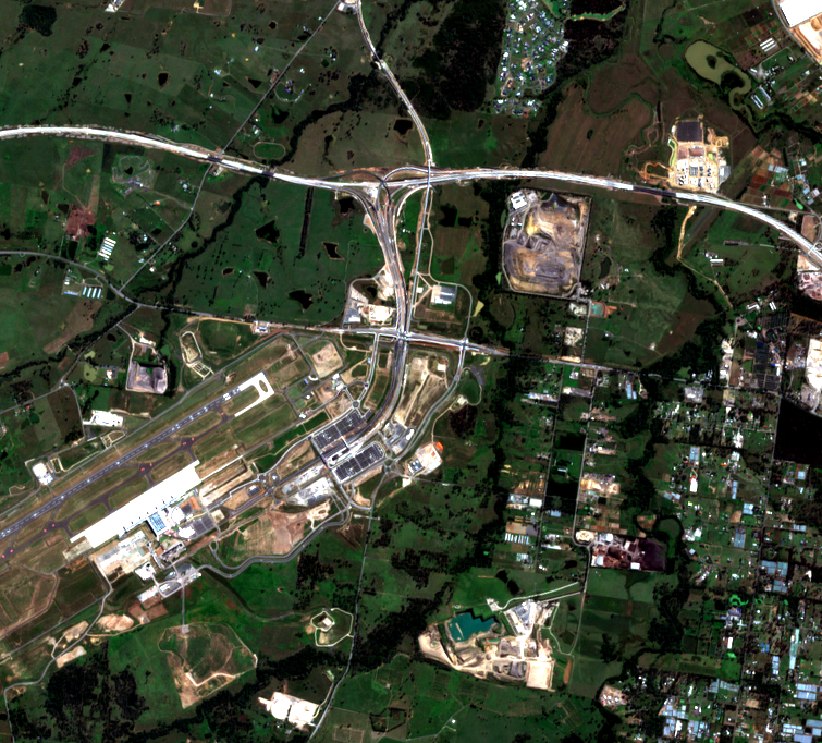
Open satellite scene of the Western Sydney Aerotropolis in April 2025
Evidence in view / 2025Western Sydney AerotropolisOpen-data demonstration · Copernicus Sentinel-2, 10 m · not property-scale verification

Choose the decision

Different scale. The same discipline.

Start with the question your team needs answered. We fit the evidence, imagery and output to the decision—not the other way around.

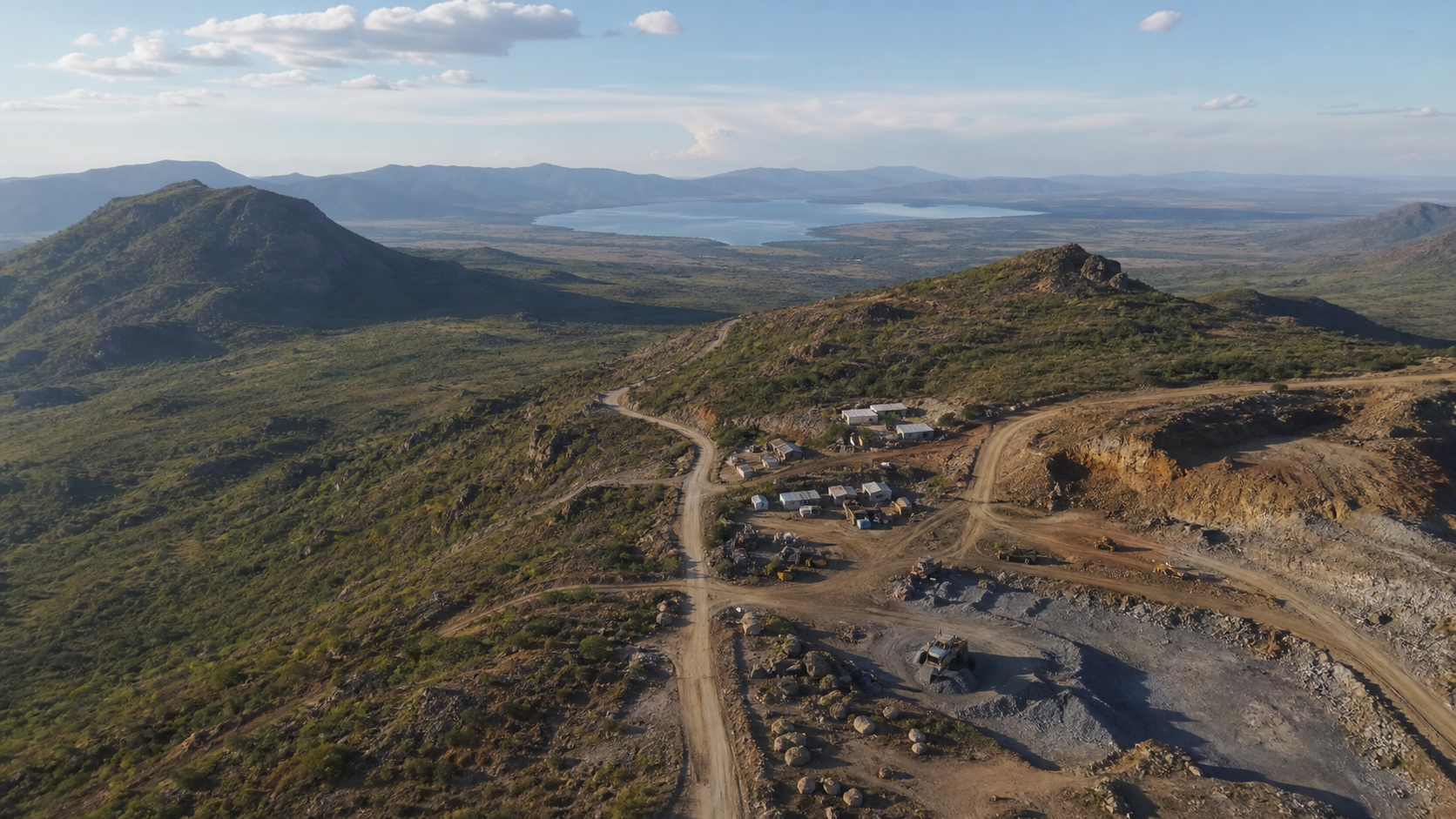
Illustrative aerial visual of a mining route and surrounding terrainIllustrative visual · project findings require sourced analysis

01 / Mining & major projects

See the whole project, not just a pin on a map.

Track visible change, access, corridors and site constraints. Give your team a dated evidence trail for the next decision.

Explore mining intelligence
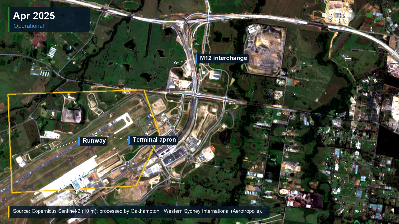
Annotated 2025 satellite view of the Western Sydney AerotropolisPublic-data demonstration · Copernicus Sentinel-2, April 2025

02 / Major development

Turn a complex site into a clear decision.

Compare land, infrastructure, access and approval questions before committing further time or capital.

Explore development intelligence
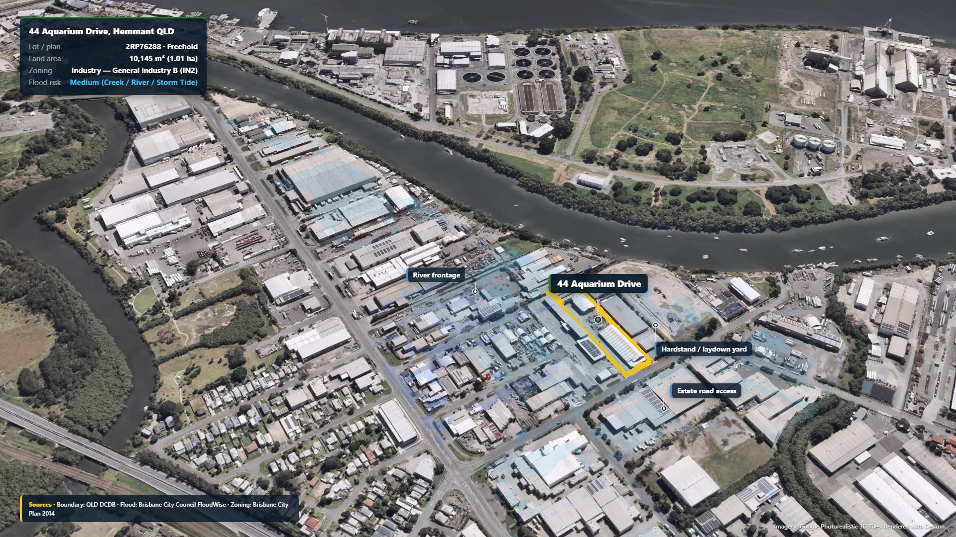
Hemmant industrial site public-data demonstration imagePublic-data demonstration · not customer proof

03 / Individual sites

Get a practical answer in two business days.

One address and one proposed use. A human-reviewed check of the risks, unknowns and next steps.

Check a site — A$395 + GST

Show the change, show the source

Evidence you can inspect, not just an impressive image.

Compare the Western Sydney Aerotropolis before and after major construction. Every live brief starts with the question, checks available scenes and records dates, resolution and what the imagery cannot prove.

  • Open satellite first for broad-area change
  • Paid high-resolution imagery only if the question requires it
  • Clear unknowns and next specialist checks
Explore satellite evidence

Public-data demonstration · Copernicus Sentinel-2, 10 m · scene dates April 2018 / April 2025 · not parcel-level proof

A clear starting point

One site? Start small. A larger project? Scope it properly.

The fixed-price check is for one named site and proposed use. Mines, precincts, routes and investor decisions are scoped around area, evidence availability and the output your team needs.

See a complete output

See exactly how the answer is delivered.

The Hemmant demonstration uses a real property and public sources. It shows the recommendation, risks, maps and next checks—not a customer result or a standing approval opinion.

Open the Hemmant demonstration
Demonstration findingWorth further review, but not ready to commit.

Flood, approval history and heavy-vehicle access still need checking before a live decision.

Findings must be refreshed for a current project.

Make the next move clear

Bring us the site. We'll identify the right evidence path.