Site comparison
Like-for-like evidence and a clear account of trade-offs between shortlisted sites.
Major development / precincts / site comparison
Compare candidate sites, surface the constraints that matter and explain the location clearly to investors, boards, advisers and project teams.
One question first · Evidence availability checked before final scope · No imagery purchase without approval
The decision questions
What we deliver
We separate observed facts, reasonable interpretation and unknowns. Specialist advice is commissioned where the decision requires it.
Like-for-like evidence and a clear account of trade-offs between shortlisted sites.
Annotated aerial or satellite plates and, where useful, a rights-checked 3D view.
A concise recommendation, evidence register, unresolved questions and ordered next checks.
The right imagery for the question
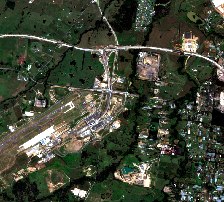
Public satellite data can show broad-area change, not parcel-level certainty. If archive or tasked imagery is needed, we check scene availability, capture date, resolution, cost and distribution rights before you approve it. We will say when no suitable scene exists.
Start with the decision