Dated change plates
Before-and-after or time-series visuals with scene IDs, capture dates, resolution and a source ledger.
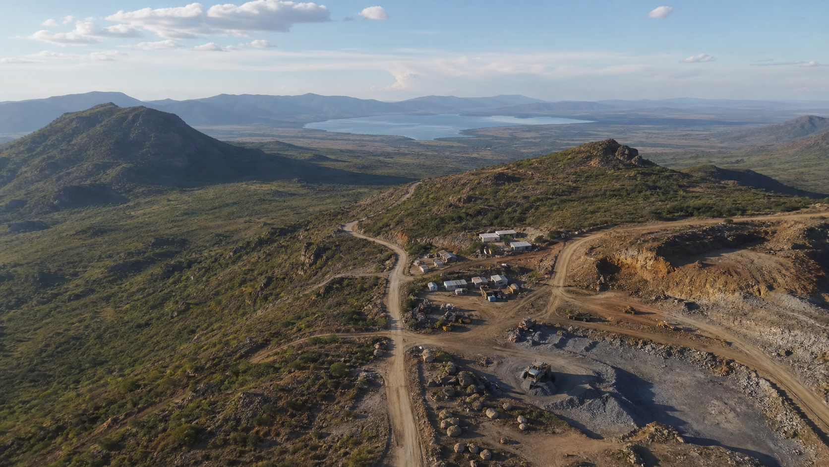
Mining / infrastructure / major projects
From a mine footprint to the route to market, bring the physical context, visible change and critical unknowns into one sourced decision brief.
One question first · Evidence availability checked before final scope · No imagery purchase without approval
The decision questions
What we deliver
We separate observed facts, reasonable interpretation and unknowns. Specialist advice is commissioned where the decision requires it.
Before-and-after or time-series visuals with scene IDs, capture dates, resolution and a source ledger.
Mapped access, corridors, neighbouring uses and available environmental or infrastructure layers—each labelled by confidence.
Plain-English findings, material unknowns, next checks and a concise visual narrative for your decision-makers.
The right imagery for the question
Public satellite data can show broad-area change, not parcel-level certainty. If archive or tasked imagery is needed, we check scene availability, capture date, resolution, cost and distribution rights before you approve it. We will say when no suitable scene exists.
Start with the decision