Solution 04
Satellite Evidence & Change Monitoring
What changed, and does it affect the decision?
Scoped to the change question · Open & Commercial lanes, from AUD 950
Time-based satellite or aerial evidence used to test a specific claim, track visible change or support ongoing review.
Best fit
Use it when the location decision is real.
Infrastructure, property, mining, agriculture, investment and dispute-support questions where visible change matters.
What you receive
- Before-and-after evidence
- Change interpretation and limitations
- Optional repeat monitoring cadence
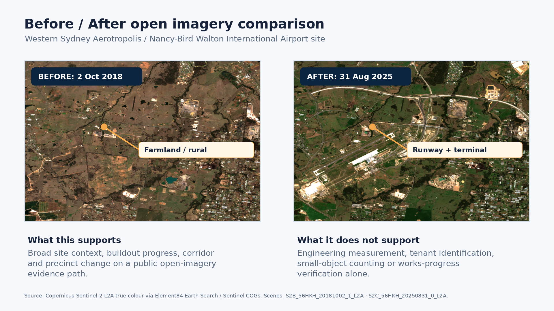 Example output
- 01Choose the dates
- 02Check visible change
- 03Record confidence
How it works
Start with the question. Finish with a recommendation.
We agree the decision, gather the most useful available evidence, test the main risks and deliver a concise recommendation with assumptions and next actions. We use satellite, aerial and 3D views when they make the answer easier to understand.
Review the methodNext Step
What changed, and does it affect the decision?
Send the decision you face and whatever context you already hold. We confirm scope, the right lane and turnaround before any work begins — no obligation.